A cultural landscape is defined as a geographic area that includes both cultural and natural resources associated with a historic event, activity or person or exhibiting other cultural or aesthetic values. This is the technical definition given by the National Parks Service in talking about what protections can be afforded certain lands.
A Cultural landscape can encompass thousands of acres or be limited to a small property.
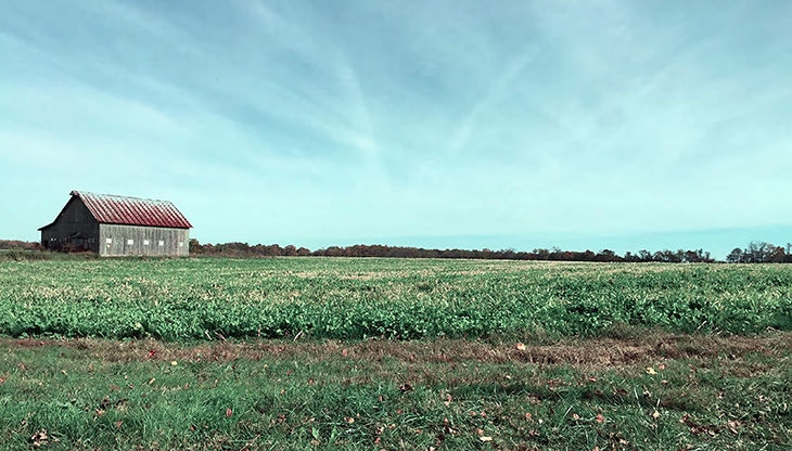
Kent Conservation and Preservation Alliance undertook the Kent County Cultural Landscape Assessment to document the significance of the existing conditions in Kent County. The survey work was carried out by a team that carried out research to evaluate and document both the history and the integrity of the landscape.
“There are stories everywhere connecting us to the past, to the land and water that surround us and to our communities.” A. Elizabeth Watson, FAICP
Links to the complete document and individual chapters
Cultural landscape Assessment document: This is a PDF of the complete document in a smaller file size for easier viewing on line and is downloadable.
The chapter files below are large to provide more detail in the maps and illustations. Please allow time for the file to open in your browser.
Introduction and Executive Summary
Chapter 1: Purpose of the study and Overview of Kent County.
Chapter 2 (high Rez 63meg): Using Historic Maps the chronology of Kent County is described.
Chapter 3: Documentation of the currently existing landscape. Includes Mapping documentation of the landscape and the cultural resources.
Chapter 4: Previous assessment, evaluations and statements compiled from previous work done in Kent County.
Chapter 5: The findings, methodology, analysis and recommendation for treatment of the landscape
Chapter 6: References.
Chapter 7:
A. List of National Register Easements and MIHP properties.
B. Resumes of Team Members.
Individual Map PDF files in high resolution
To provide granular detail the map files below are quite large and may take time to open depending on the speed of your internet connection. Please allow time for the map to open in your browser.
Kent County, MD Historical Assets Map: All documented Historical Assets including: Maryland Historical Trust Preservation Easements, National Register of Historic Places, African American Communities, and Archaeological Sites.
Kent County, MD Agriculture Resources Map: A complete mapping of all lands in Kent County including: Prime Farmland, easements, and farmland of statewide importance
Kent County, MD Cultural Landscape Analysis Map: A compilation map of all Kent County’s cultural, landscape, and historic resources.